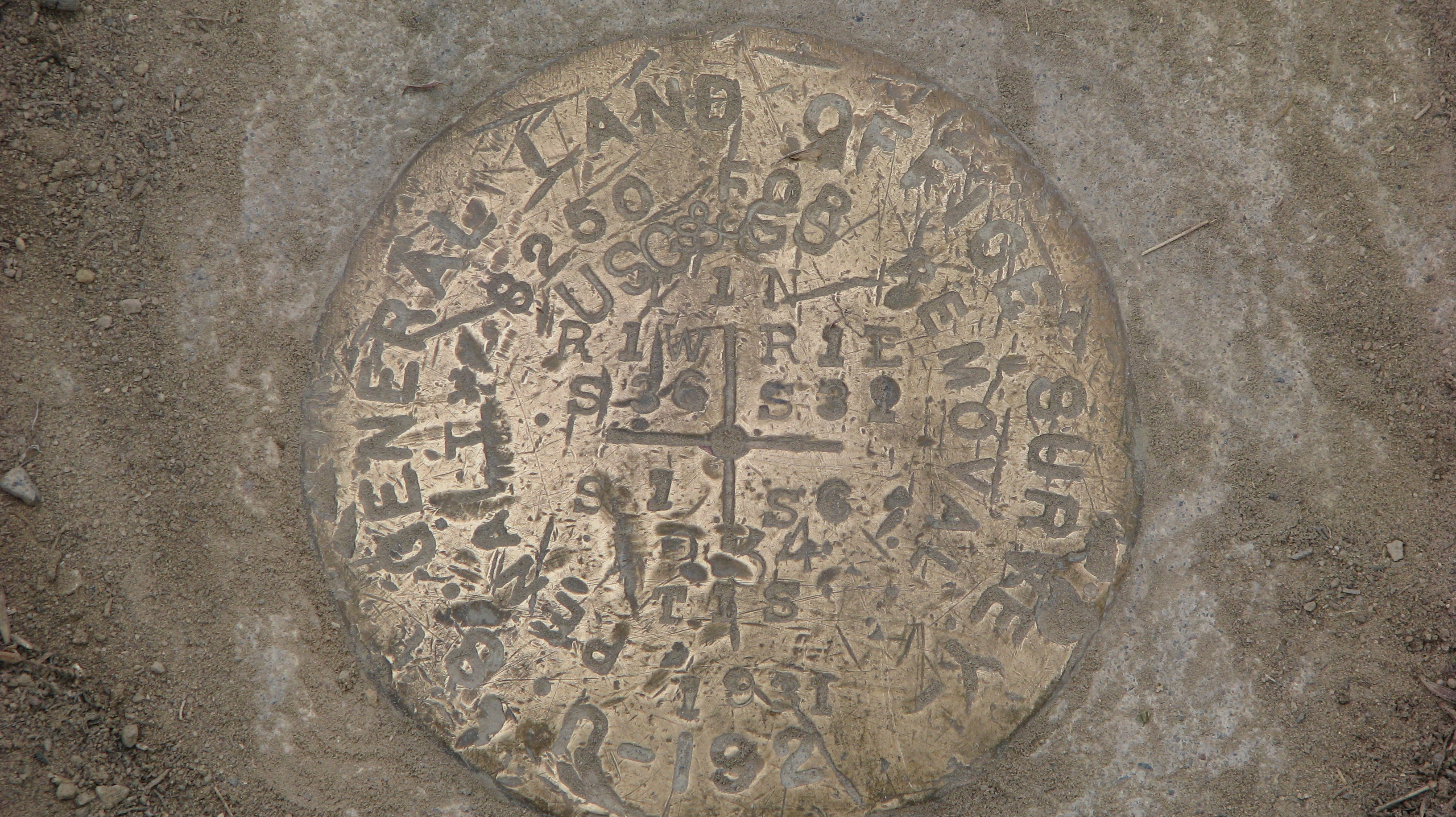
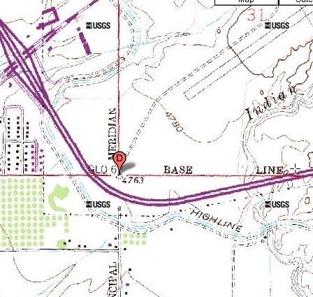
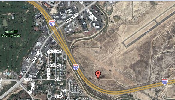
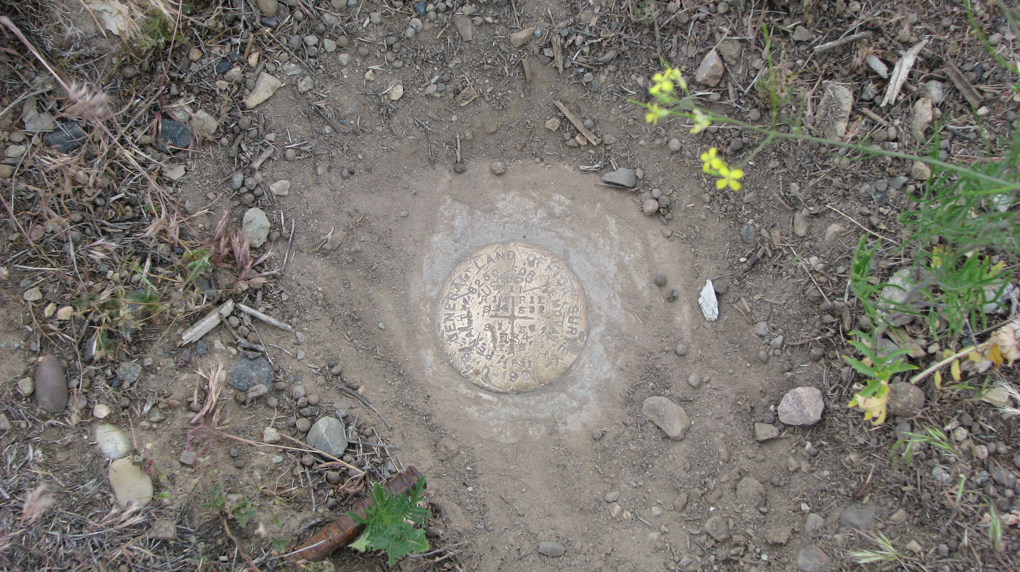
Ute Meridian

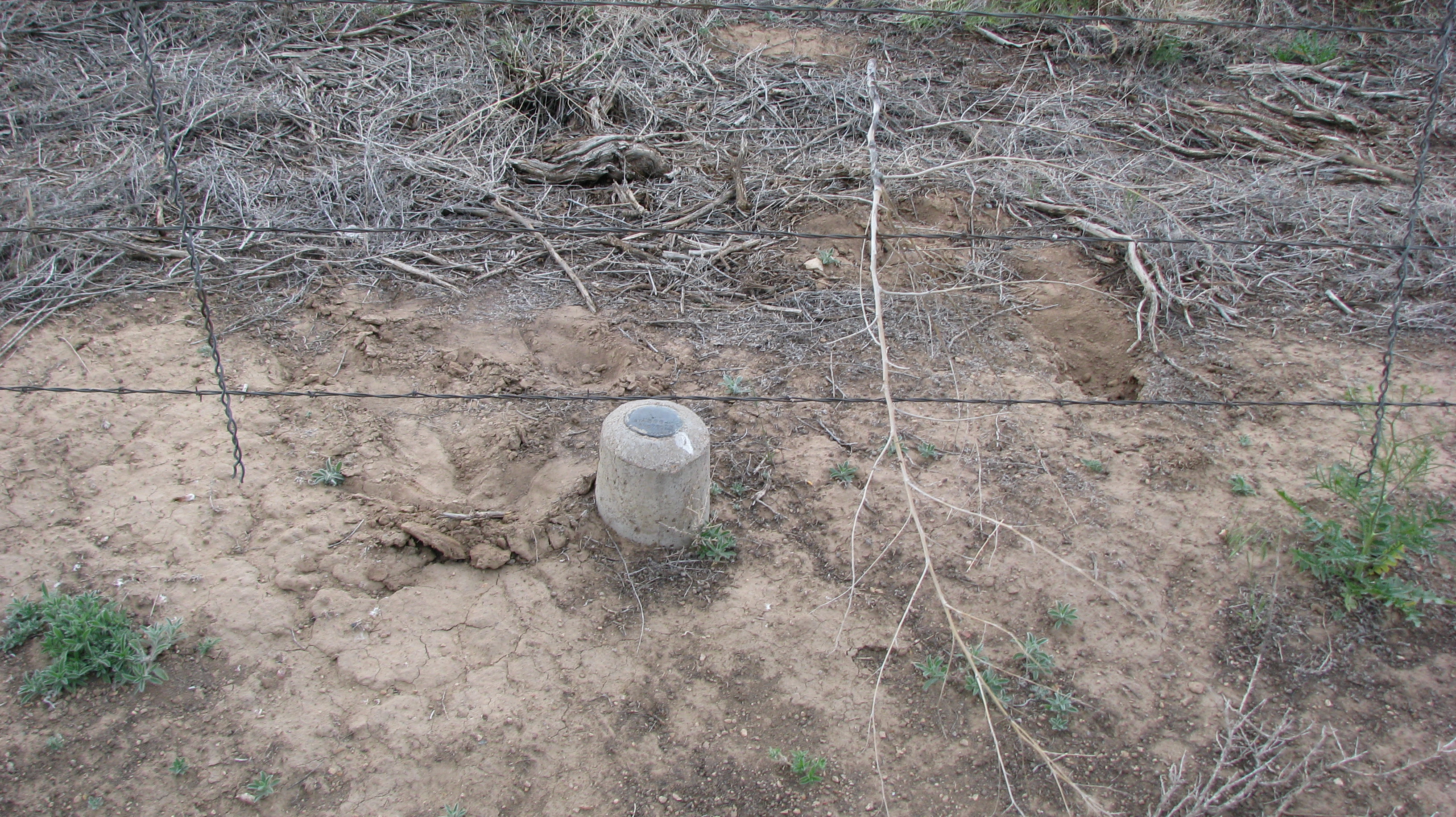
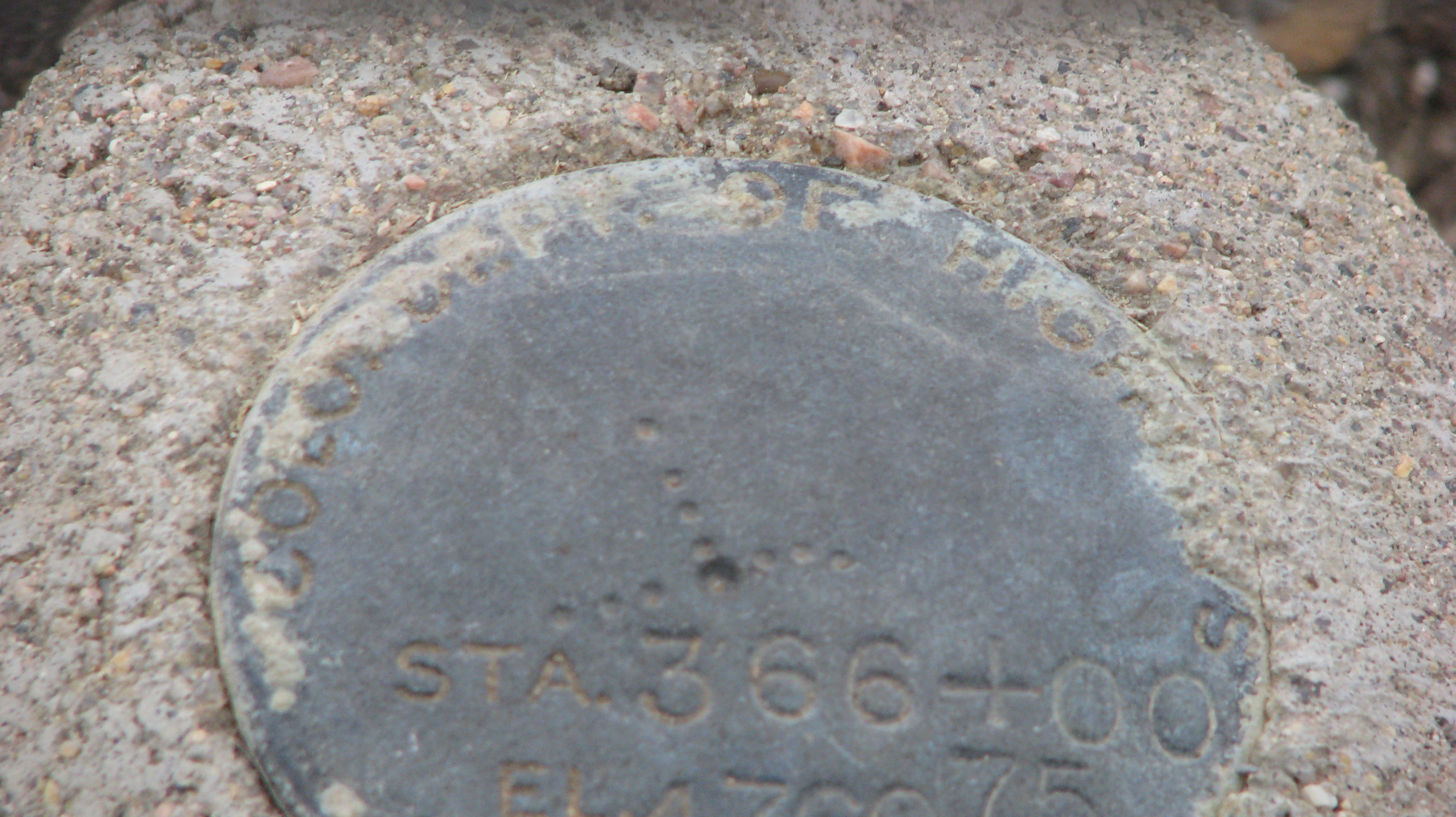
Ute Meridian and Baseline: Certain portions of Mesa and Delta counties use the Ute Meridian as the main north-south survey line with an arbitrary baseline as the starting point. The original plan was to settle the Ute Indians in Western Colorado.

Home Page

Submitted by:
John N Shankland
05/22/2009


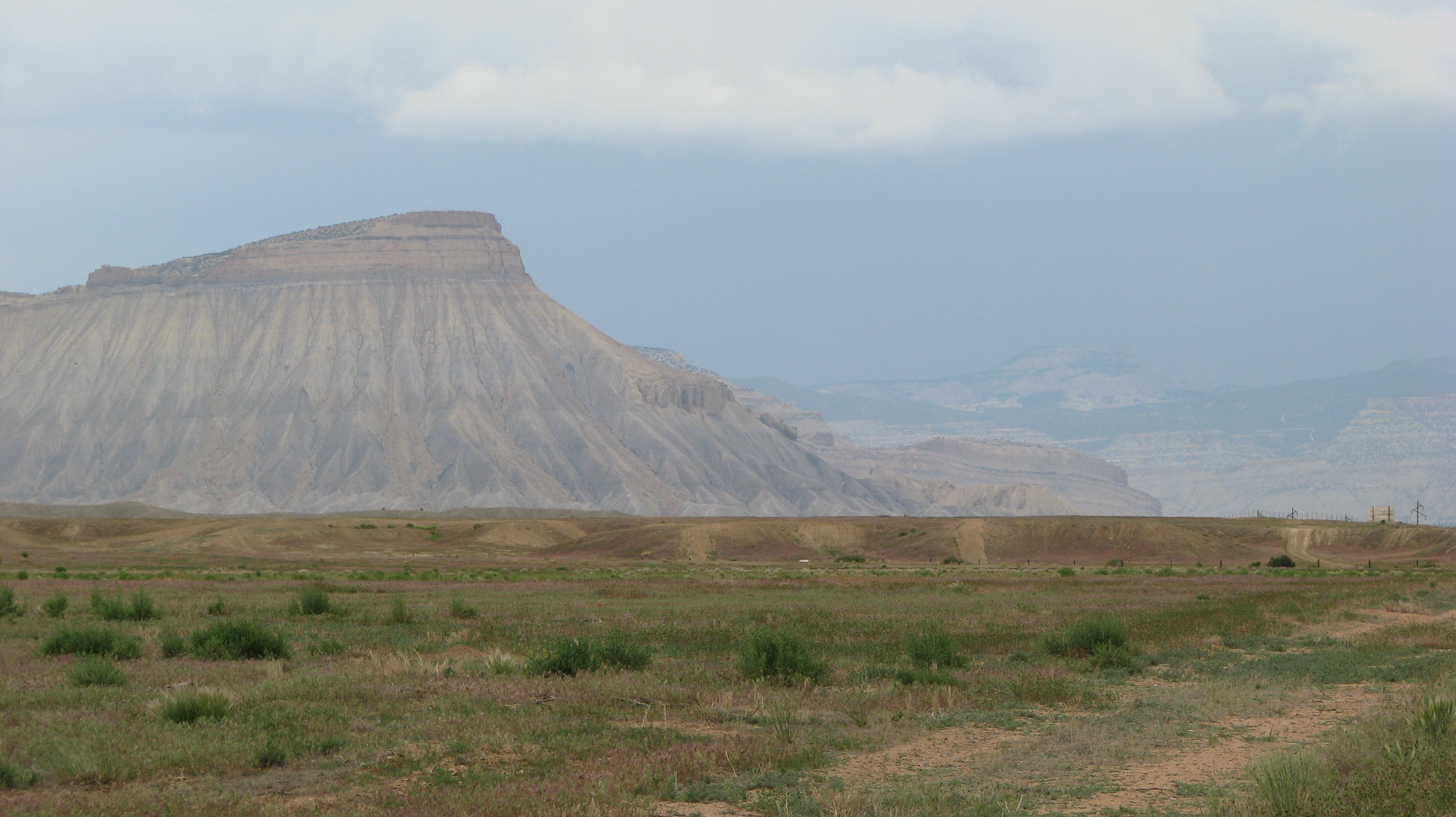
The Colorado National Monument


This Meridian is located just inside the boundary fence of the Grand Junction Regional Airport. Obviously permission must be given to enter. If the orange marker posts are still there you can see it from the south side of the fence. If you are inside the marker is located in a hole surrounded by 4 or 5 rocks. I was guided near the spot by a maintenance worker in his vehicle without gps. His supervisor Amy was kind enough to allow me to do this. The marker is below current ground level and was buried under a couple inches of dirt.


Marker at the bottom of hole Stones and stakes marking IP   Laying on the ground nearby
Survey Marker A reference marker some distance from the IP?  

If you look carefully you can see 2 stakes with white signs on them and an orange stake. The white stakes mark the location of reference points which triangulate the IP.