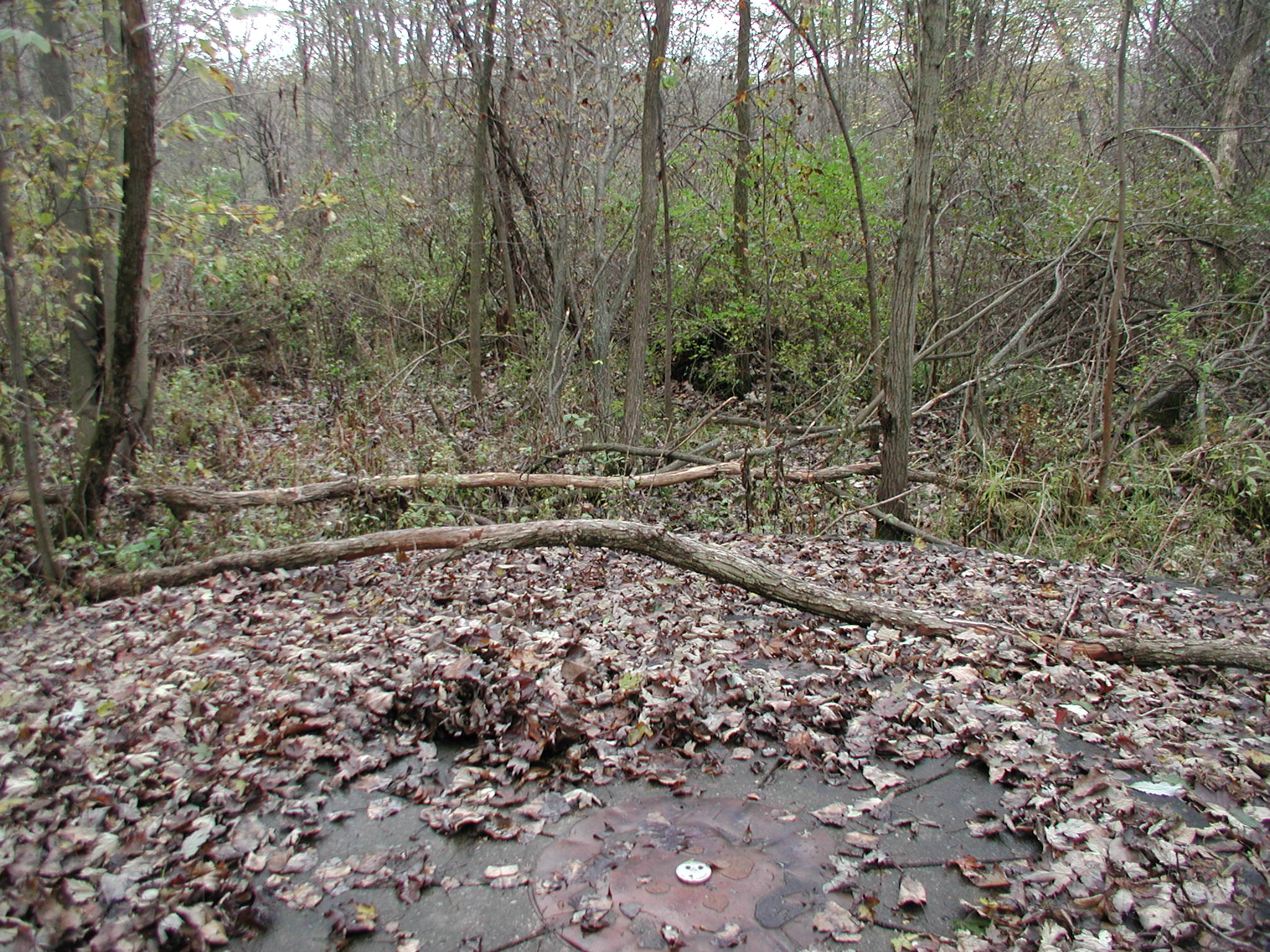
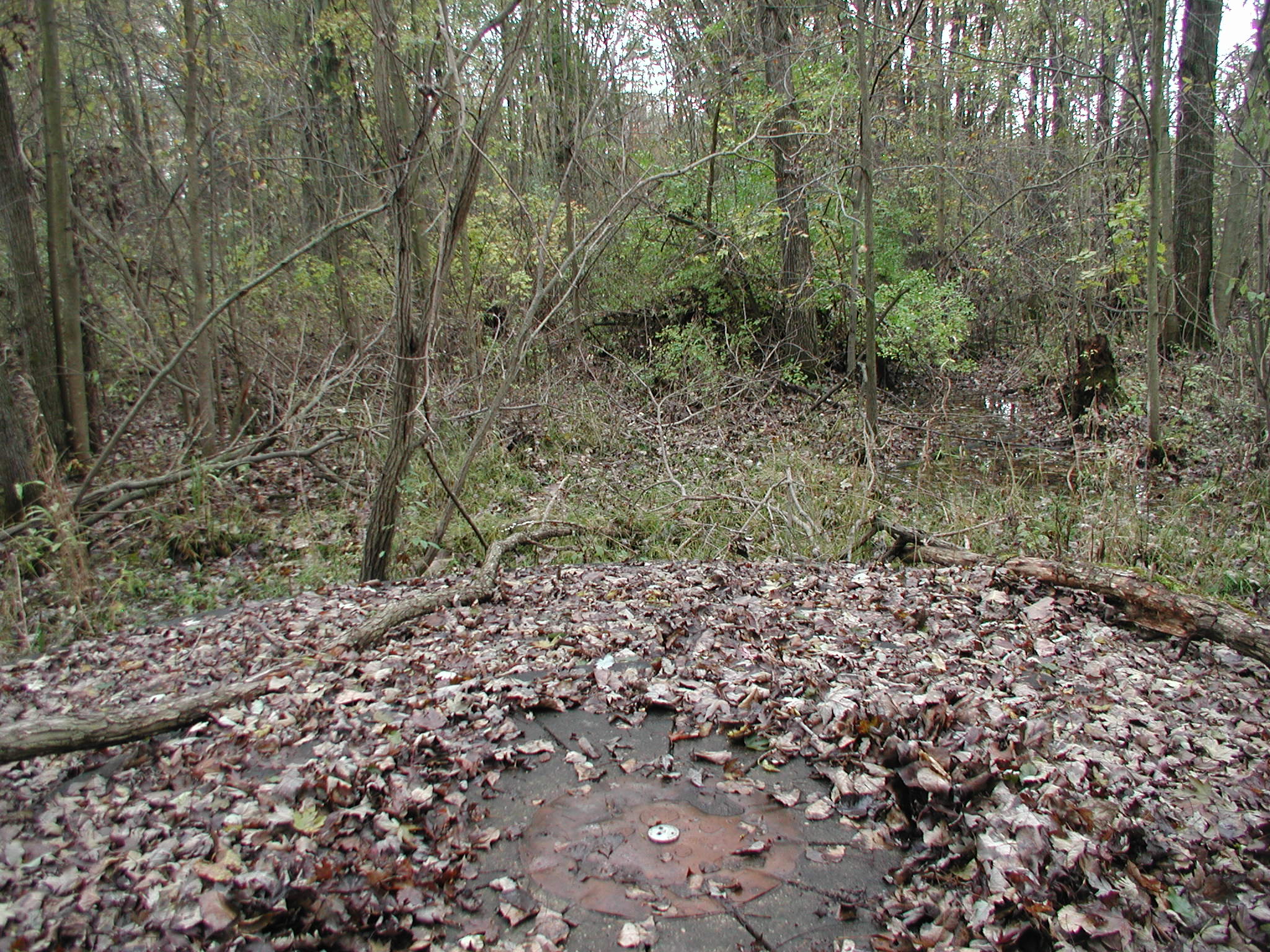
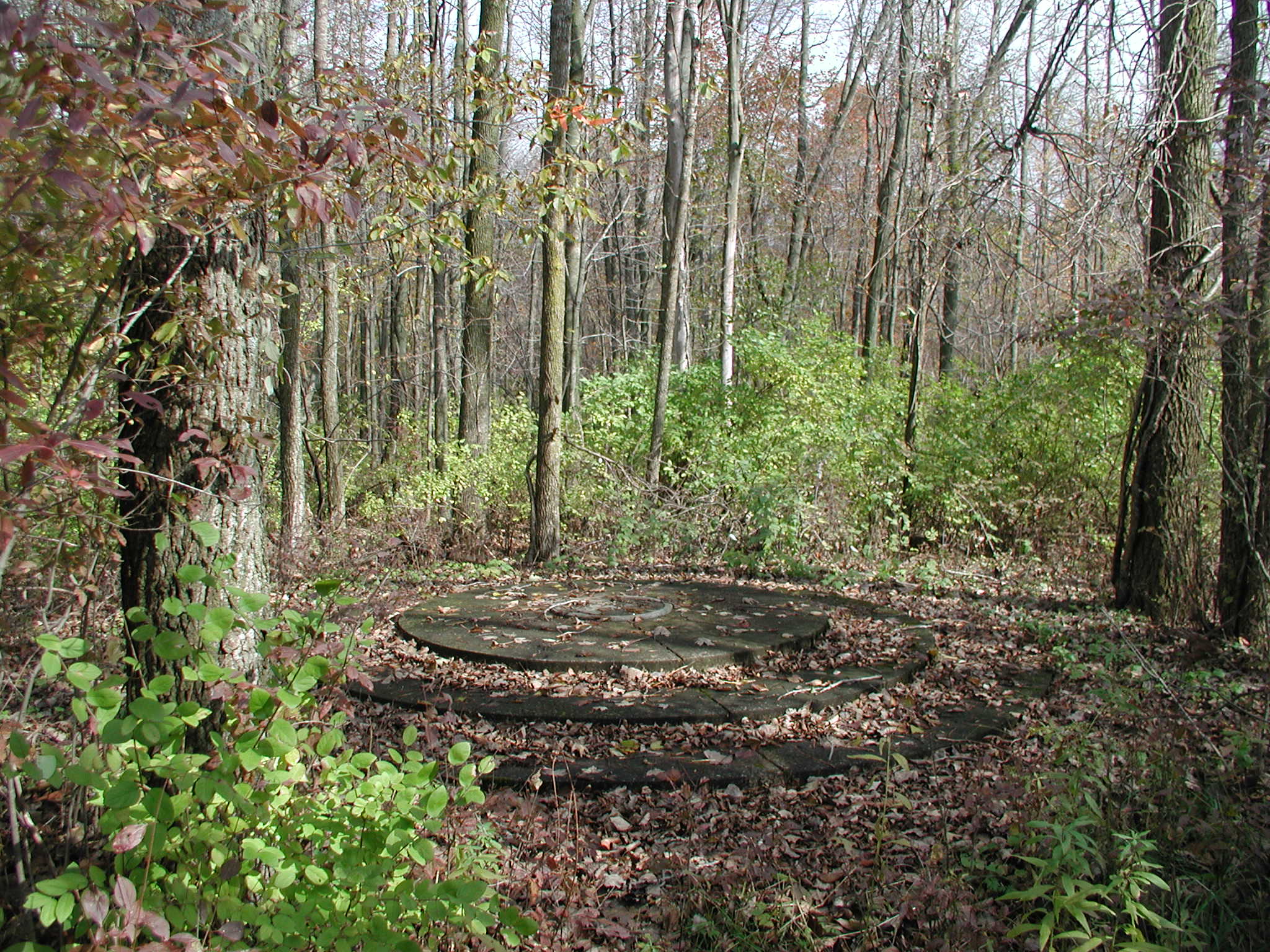
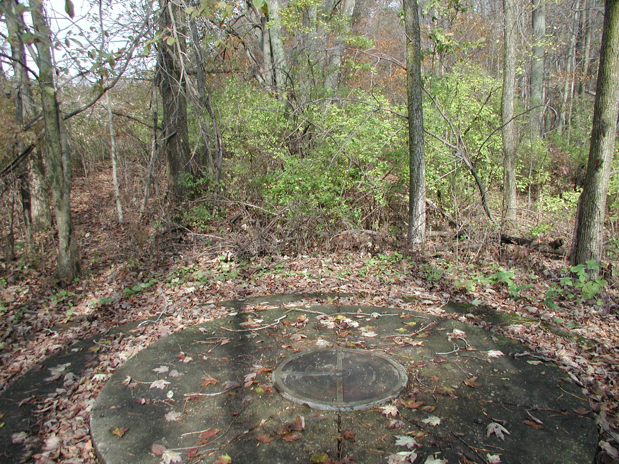
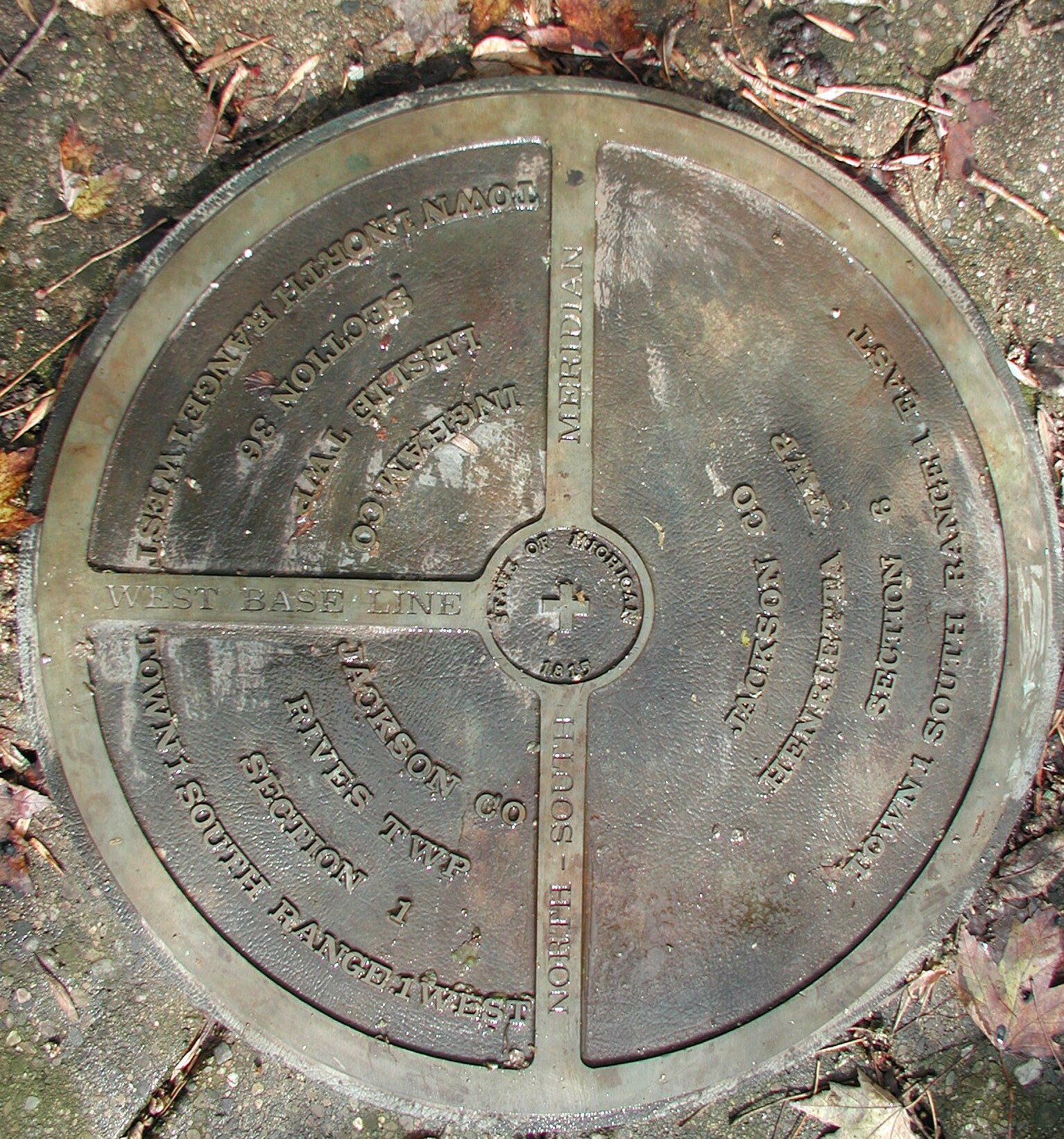
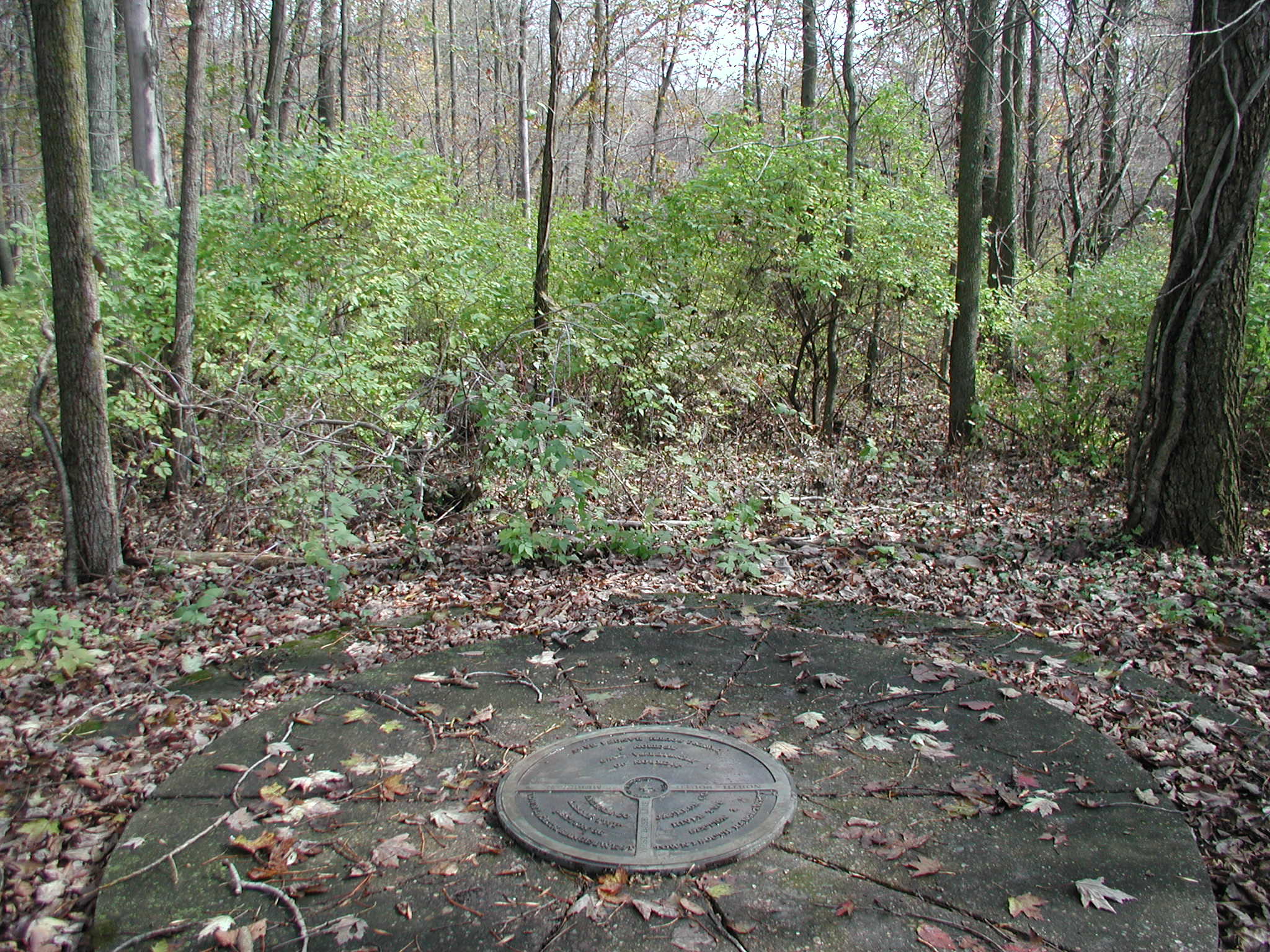
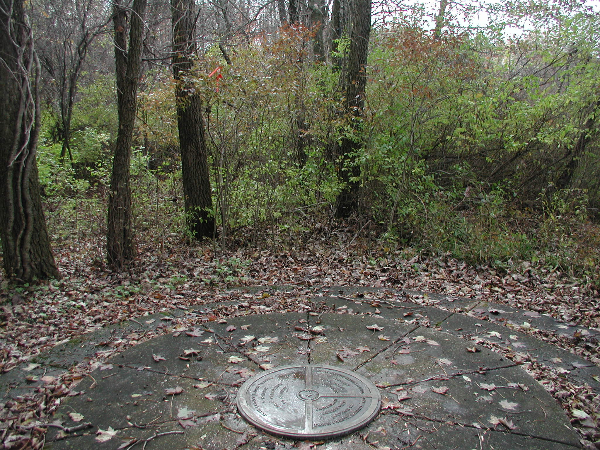
Michigan Meridian

The original Initial Point for Michigan was surveyed from the south up to the point due to the many swamps, rivers, and lakes. They used a zig-zag pattern to establish the location. The marker was put in the ground October 1815 by Benjamin Hough.

 The land west of the rangeline of 1 west and 1 east in 1815 belonged to the Indians from the Detroit Treaty.  All surveys in 1815 & 1816 remained to the East of the Michigan Meridian.

In the 1820’s, new treaties with the Indians of Michigan and upper mid-west Regions allowed the surveying to continue throughout a larger region and Joseph Wampler was instructed to continue the survey of the Michigan Baseline to the West.  Due to errors and new findings upon 
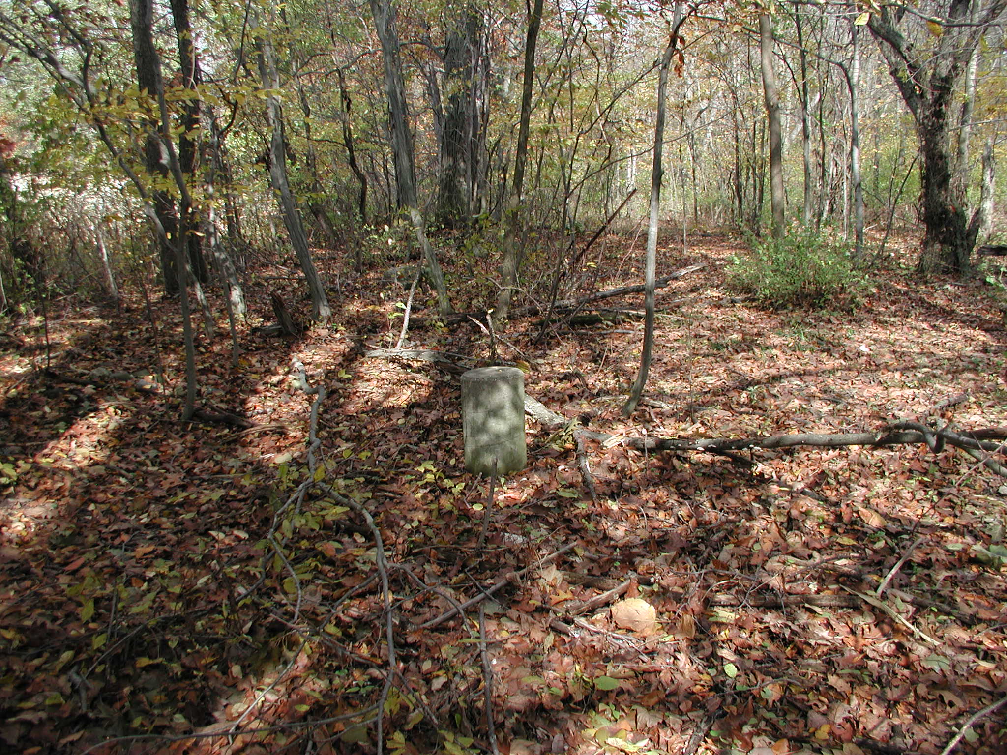
Retracement, approximately January 19, 1824 Joseph Wampler set a new Baseline corner 14.18 chains south of the 1815 Baseline corner set by Hough.  This new corner would be the West Baseline and the original would be the East Baseline for Michigan.


Home Page

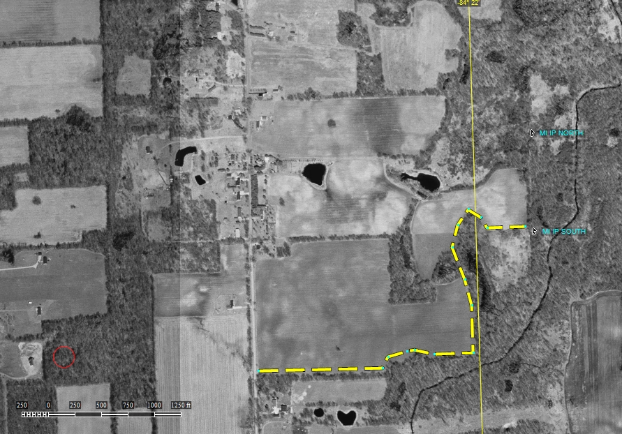
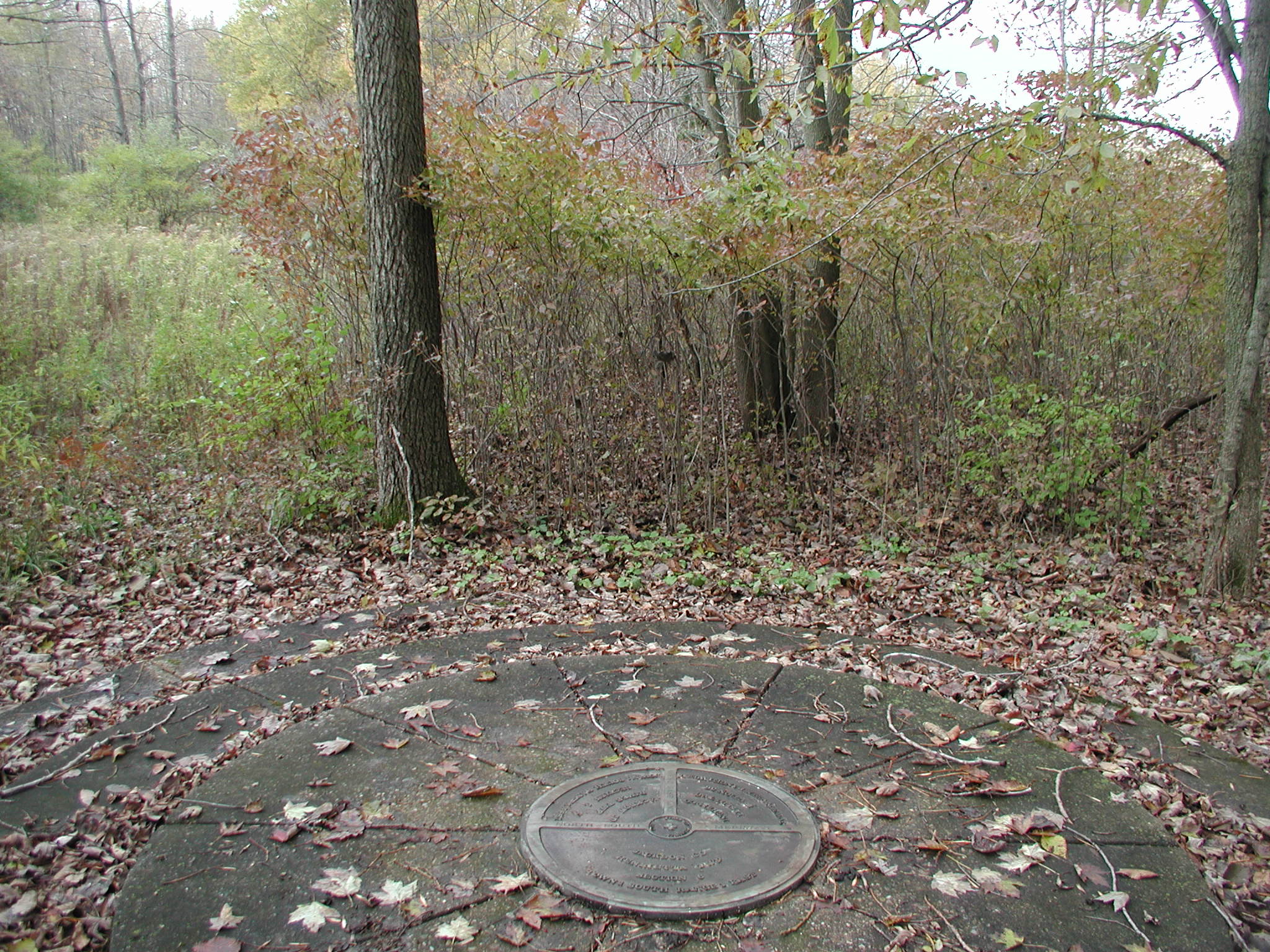
One meridian with 2 base lines. Scroll to the bottom to see the West baseline.

Submitted by:

Kurt A Luebke

Oct 18th 2006


East base line Meridian


These two corners were remonumented in the early 1970’s by the Land Surveyors of Michigan.  At each point 20’ diameter concrete stair-like rings were poured with the precise centers marked by two 2’ diameter brass plates.  The land around the marks was purchased to build a park, but the park and access never were completed.  The easiest access, can be found by hiking ½ mile due east from a county road; but this is private land and permission is needed to access.

The corners are located approximately 12 miles north of Jackson Michigan; and are located alongside farm fields and swamplands.

I visited the corners on October 18, 2006 and had no problem finding the corners.  I asked permission at the farmhouse due west.  I hiked approximately ¾ of a mile to stay on some more solid ground due to freshly plowed and muddy fields.  The corners were easily found under the leaves and there are concrete cylinders approximately every 50’ on line between the two corners, which stick up around 1’.  Unfortunately I uncovered the east baseline concrete to find the epoxy impression of the brass plate and no sign of the plate in the vicinity.  You will also notice that the east baseline is in a swampy area and has considerable settling around the concrete of between 1-3’ in elevation, but the concrete is still very solid.


These concrete post on 50 foot intervals mark the meridian line between the East and West baselines.

The step monument from 1970


Meridian Line at the West Baseline.