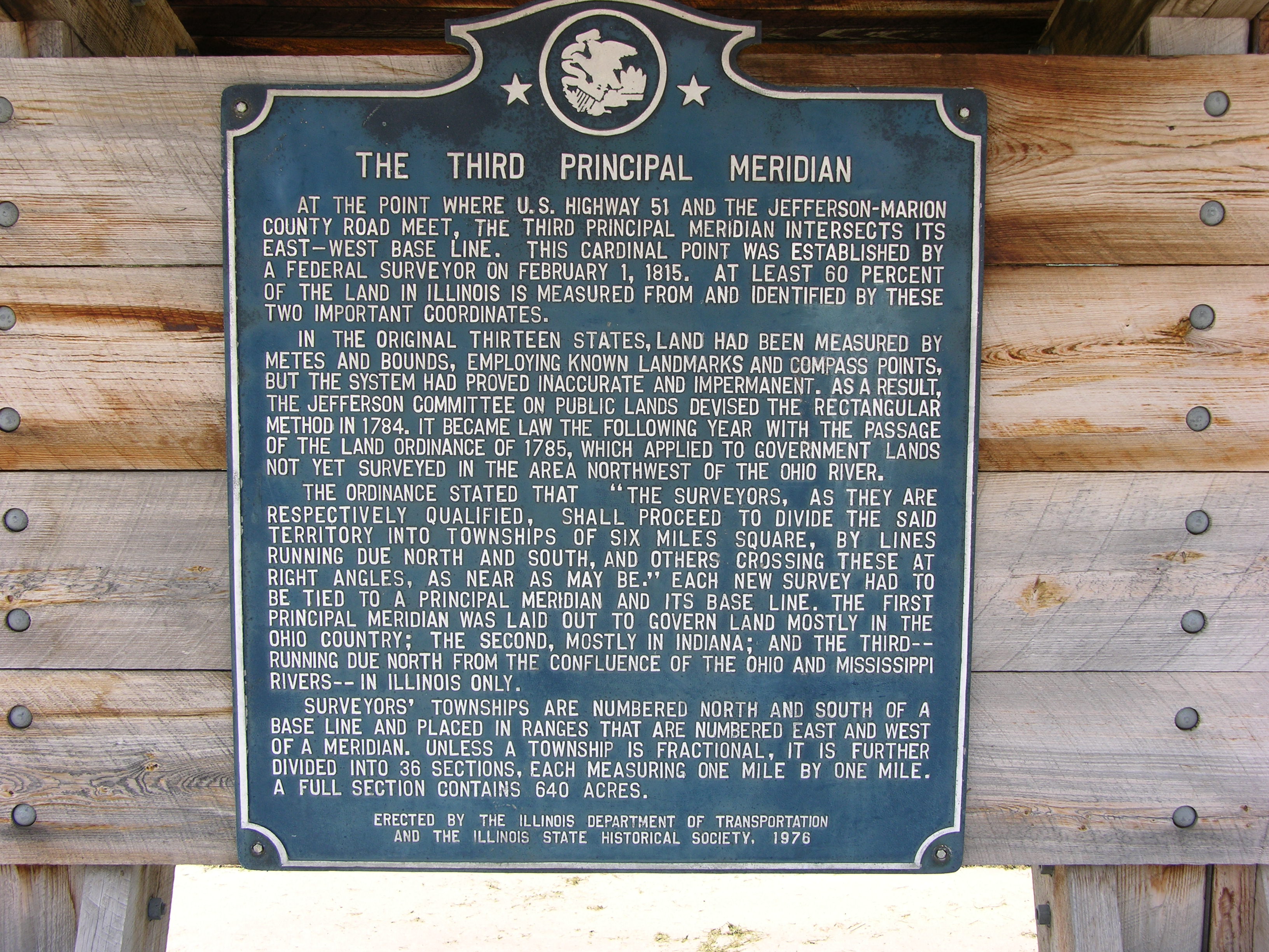
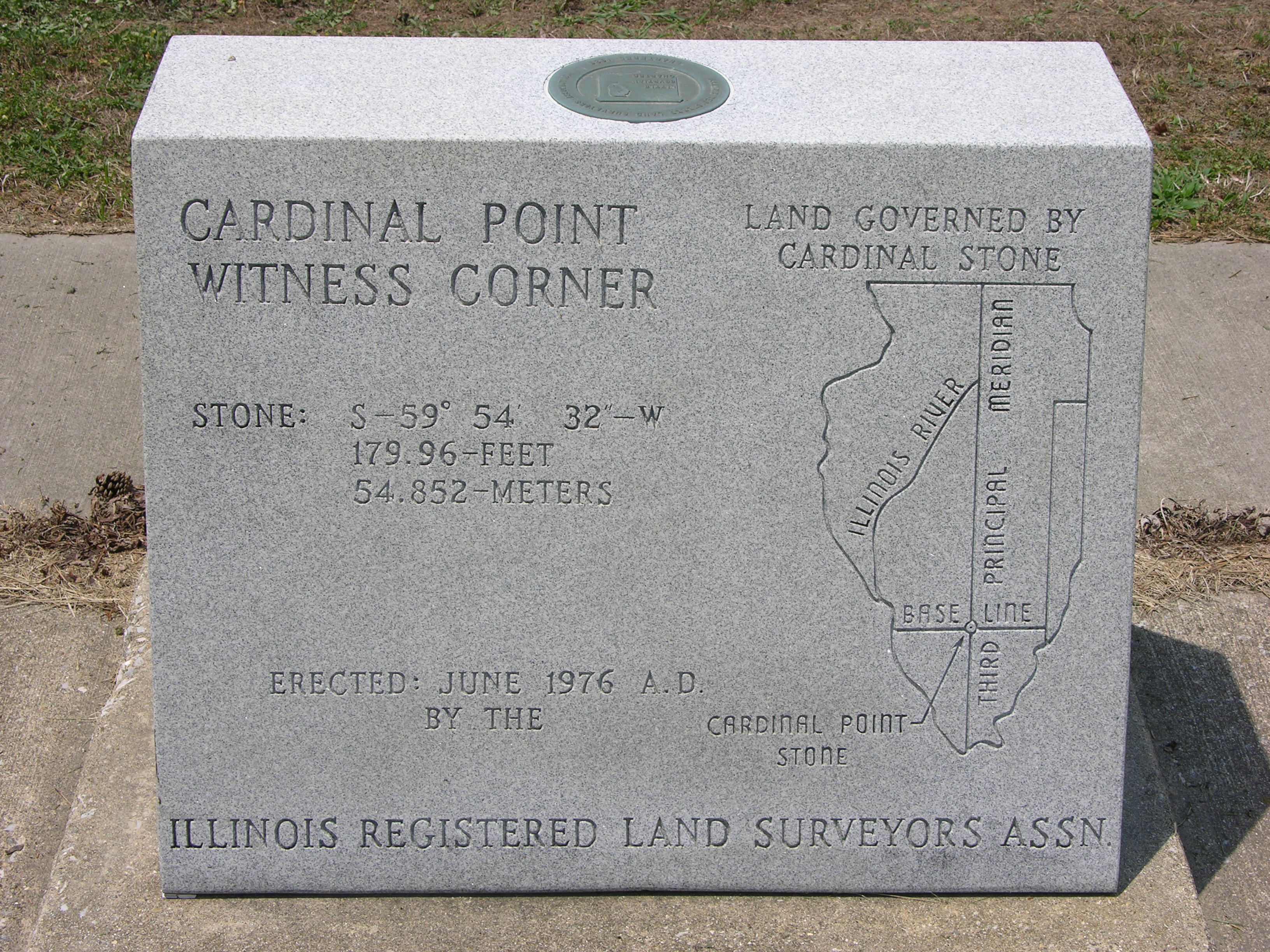
The Third Principal Meridian
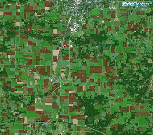
Centralia, Illinois
This point was established in 1815 and is the cornerstone of 60% of the land in Illinois including Chicago.
Once the original point was established and new corner points were surveyed, new land was physically referenced to the nearest corner point. As a result, this point was no longer needed and covered by an expansion of highway 51. In 1976 a project was undertaken to rediscover the original corner stone. It was under the highway exactly where it was supposed to be. The spot is now covered with a removable steel plate.
Submitted by:
John N Shankland